


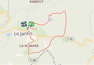

6,9 km | 8,7 km-effort


Tous les sentiers balisés d’Europe GUIDE+


Application GPS de randonnée GRATUITE
 SityTrail
IGN / Instituts géographiques
SityTrail World
Le monde est à vous
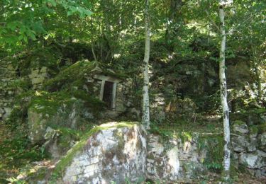
Randonnée A pied de 4,4 km à découvrir à Nouvelle-Aquitaine, Corrèze, Le Jardin. Cette randonnée est proposée par SityTrail - itinéraires balisés pédestres.
Site web: https://rando-millevaches.fr/pedestre/le-jardin-bourg/

Marche
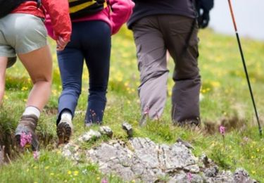
Marche
A pied
Marche

Cheval

V.T.T.

Marche

V.T.T.
Cheval